Click thumbnails for a larger image: -
| CM3 | |
 |
Altocumulus translucidus (Ac tr) & altocumulus stratiformis (Ac str) at a single level – can form from the convective break-up of altostratus or from turbulence of moist air at medium levels. Rising and falling waves of turbulent air (like waves in water) create these ‘ripples’ or parallel bands of translucent cloud at one level. They do not progressively invade the sky as do the altocumulus stratiformis clouds of CM5. |
| CM4 | |
 |
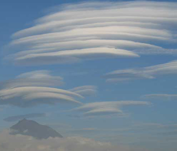
Altocumulus lenticularis (Ac len) – these clouds are formed at the crests of waves of moist air uplifted over hills or mountains, dissipating in the troughs in between. They can produce amazing spectacles of lines or stacks of lenticular clouds (pile d’aissettes or ‘stack of plates’). |
| CM5 | |
 |
Altocumulus stratiformis (Ac str) – very similar in appearance to altocumulus translucidus/stratiformis at a single level, the difference is that this cloud forms progressively thickening bands invading the sky. Increasing moisture content often causes them to thicken and descend into altostratus opacus or nimbostratus. |
| CM6 | |
 |
Altocumulus cumulogenitus (Ac cugen) – similar to stratocumulus cumulogenitus. these clouds form when the upward growth of cumulus congestus or cumulonimbus clouds is halted by a temperature inversion, causing them to spread out horizontally. It can form the shape of an anvil but unlike that of a cumulonimbus capillatus lacks the icy striations of a true anvil. It can also be formed from a decaying cumulonimbus cloud when it would be described as altocumulus cumulonimbogenitus (Ac cbgen). |
| CM7 | |
 |
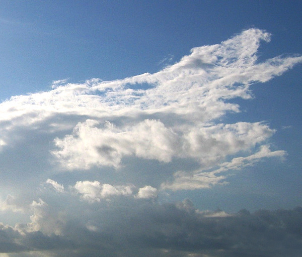
Altocumulus stratiformis duplicatus (Ac str du), or altocumulus with altostratus or nimbostratus – altocumulus in more than one layer (duplicatus) not invading the sky, and much larger than their higher cousins cirrocumulus floccus. Lower layers may be at 8,000ft and higher layers at 12,000ft. As in the image to the left, altocumulus can occur with, and transforms into, altostratus or nimbostratus. |
| CM8 | |
 |
Altocumulus castellanus (Ac cas) – Instability in the upper atmosphere gives rise to clouds arranged in lines from a common base with turrets or castellations. These clouds invariably indicate widespread thundery activity within 24 hours, and can descend to form cumulus or even cumulonimbus clouds. |
 |
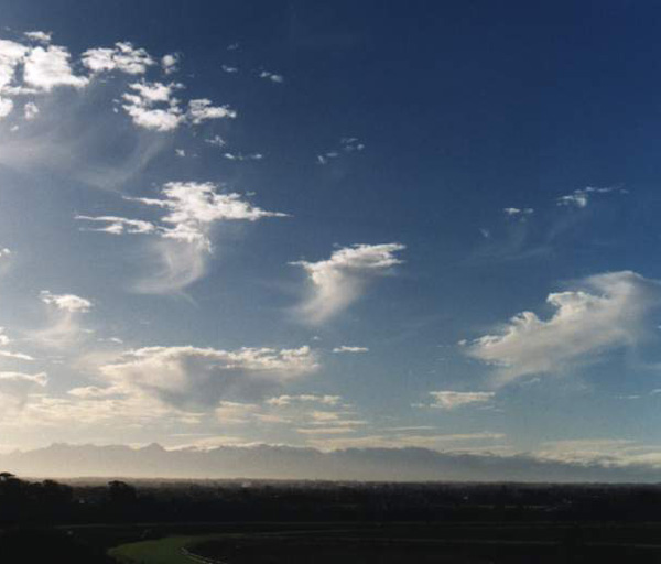
Altocumulus floccus (Ac flo) – Altocumulus castellanus can dissipate into altocumulus floccus (similar clouds with resembling small cumulus clouds) often with virga (Ac flo vir), rain or snow not reaching the ground, trailing from their bases. |
| CM9 | |
 |
Altocumulus of a chaotic sky – a heavy sky containing several transitional medium level clouds at several levels, from low, thick altocumulus to high, thin altostratus, often indicating uncertain, but unsettled, weather. |